Currently, large-scCurrently, large-scale and continuous monitoring of the environmental area is only possible through satellite images. This type of technology allows the monitoring of our planet from the point of view of space. سباق خيل  The view from above provides powerful new insights into the physical and biological phenomena that shape the conditions of life on earth.

Satellites are essential for understanding global and local patterns of precipitation and flooding, understanding how forest fires start and spread, how wildlife populations are distributed, and other indicators of environmental health. اربح المال من الالعاب

Codex, a partner of Maxar, leader in the world market for satellite images, offers solutions for monitoring and environmental sensing, which make it possible to identify changes in the use and occupation of areas without the need for the presence of field teams, among countless other factors. Keep reading and check it out!
Importance of using Satellite Images for environmental impact
Satellite remote sensing is, par excellence, a powerful and efficient tool to guarantee the acquisition of images of large areas in a short time and with high repetition, which can be used in environmental impact studies.
Thus, satellite imagery is a valuable source of data on landscape topography, land use, land cover, and quantification of global changes that can lead to strong and destructive impacts on habitat.
Thus, the use of satellite imagery plays an important role in the classification, mapping and detection of changes in ecosystems, homogeneously reaching maps with predictable characteristics. Among the objectives of remote sensing in impact of environmental studies are:
- Monitoring and modeling of land surface processes and their interaction with the atmosphere;
- Measurement and estimation of geographic, biological and physical variables;
- Identification of details and materials on the earth’s surface;
- Spectral signature analysis recorded with satellite and sensors.
It is possible to achieve these goals with remote sensing via satellite, as it explores the natural properties and allows the acquisition of information about the scene located at a great distance from the sensor.
Benefits of Environmental Monitoring and Sensing
The remote sensing data available today and used in assessing the environmental impact caused by changes range from very high resolution recordings, to medium spatial resolution retrieved records and simpler resolution images.
The use of satellite imagery in environmental impact assessment has the following advantages:
- The engraved area is large, captures general characteristics and can be retrieved at any time of day;
- They cover areas that are inaccessible or hostile to humans and highlight unusual features of the phenomena or details recorded;
- The information obtained is uniform throughout the area, the data is obtained with high repeatability and phenomena that evolve rapidly over time can be identified;
- Records are made as needed in different parts of the electromagnetic spectrum in various ways (analog, digital, business).
Environmental impact reports through satellite images
Persistent data gaps have been a major challenge for the development of environmental indicators. Remote sensing via satellite imagery has the potential to overcome these shortcomings, providing time-scale coverage of important environmental parameters.
The knowledge and detection of the impacts of human activities on the ecosystem through satellite images is an essential management requirement and also very important for the future and adequate planning of the affected areas.
In addition, documenting these impacts can help raise public awareness of the effects of unsustainable practices. The analysis of satellite data and remote sensing can be used as an effective tool in environmental impact assessment (EIA).
Due to this breadth of data, we will show how it is possible for satellite images to be part of environmental reports and contribute to the survey being even more effective.
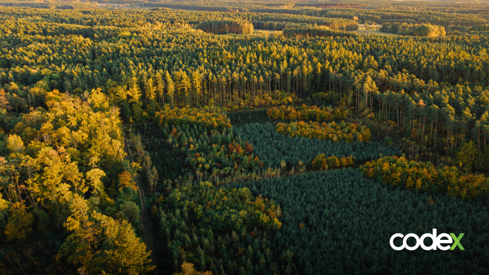
Environmental Conservation
Remote monitoring and sensing are also useful as early warning systems for natural disasters, extreme weather events and man-made environmental degradation actions. Some images reveal properties invisible to the human eye; this includes measurements of land and sea surface temperatures, or the concentration of chlorophyll in the oceans.
In addition, meteorological phenomena such as hurricanes and dust storms can also be monitored by satellites. افضل موقع مراهنات عربي Some sensors of this technology were designed to obtain images of specific components of the atmosphere, such as water vapor, aerosol particles and the concentration of various gases.
And increasingly, satellite imagery is used to measure, identify and track human activity.
Climate changes
Satellite-generated images are an incredible source of data for climate change research, allowing us to see the global transformations on the planet that are happening more often.
For example, changing ocean temperatures, currents and sea level rise can be monitored by space-based survey instruments. ISS measurements indicated that global sea levels have increased by an average of 3.3 millimeters per year since 1993, due to melting glaciers, sea ice and thermal expansion within the oceans.
In addition, satellite images can show the varying sizes of glaciers and sea ice, which shows that, after 2017, the year 2019 had the second smallest extent of it in the Arctic since 1978, with a similar situation in the extent and coverage of Antarctic sea ice.
Orbital imaging technology can reveal an unprecedented understanding of the world. As their acquisition and distribution processes are improved, it is clear that satellite imagery and location data are becoming more relevant as a resource for decision-making and in the care of the environment.
Codex and Maxar
With over 60 years of experience and partnerships with innovative companies, Maxar, a Codex partner, designs and manufactures satellites and spacecraft components for communications, earth observation, maintenance and assembly in orbit.
In addition, the corporation supports commercial and government missions with space infrastructure capabilities and works with more than 50 governments to monitor global change, provide broadband communications and advanced space operations with capabilities in Space Infrastructure and Earth Intelligence.
To date, Maxar has built more than 280 satellites that provide high-resolution satellite imagery and derived data layers, machine learning, and rich domain knowledge so organizations can make decisions with confidence.
Codex offers monitoring and remote sensing services ideal for environmental assessment. In addition to other geographic information systems, it uses ArcGIS applications and satellite images with a resolution of up to 30 cm offered by the operator Maxar.

